


With innovations in satellite images, remote sensing and geospatial intelligence, the company has already confirmed its presence at the next edition of the MundoGEO Connect exhibition, from June 3 to 5 in São Paulo (SP)
 Engesat has confirmed its participation as an exhibitor at MundoGEO Connect 2025, from June 3 to 5 at Expo Center Norte – Pavilhão Azul in São Paulo (SP), Brazil, a trade show that will take place on the same date and location as DroneShow Robotics, SpaceBR Show and Expo eVTOL.
Come and see the latest innovations in satellite images, remote sensing and geospatial intelligence at Engesat’s stand and discover how the company’s solutions can transform your projects.
Engesat’s portfolio includes satellite images for various applications:
- Environment
- Agriculture
- Urban Planning
- Energy
- Mining
- Defense and Security
- Forestry
- Expertise
- Coastal Studies
- Precision Altimetry

And also software for geographic analysis:
-
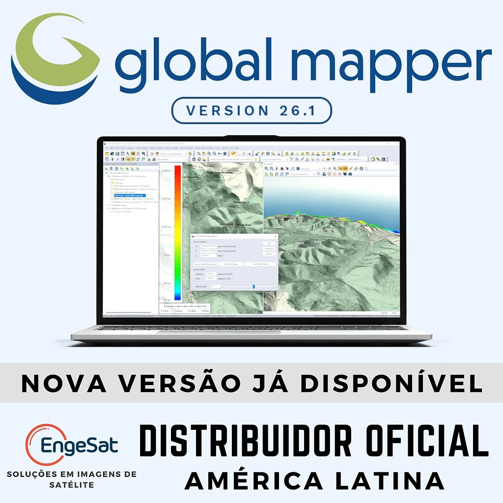
- Global Mapper
-
- Global Mapper Pro
-
- Avenza Maps
-
- Mapublisher
-
- Geographic Imager
-
- Correlator3D
Visit Engesat’s booth and take the opportunity to talk to the company’s experts, watch exclusive demonstrations and explore innovative technologies.
Don’t miss this opportunity! Come and learn about Engesat’s solutions and discover how the company can add value to your projects.
For more information, contact Engesat or follow us on social media. Find out more at www.engesat.com.br
Floor plan and exhibitors:
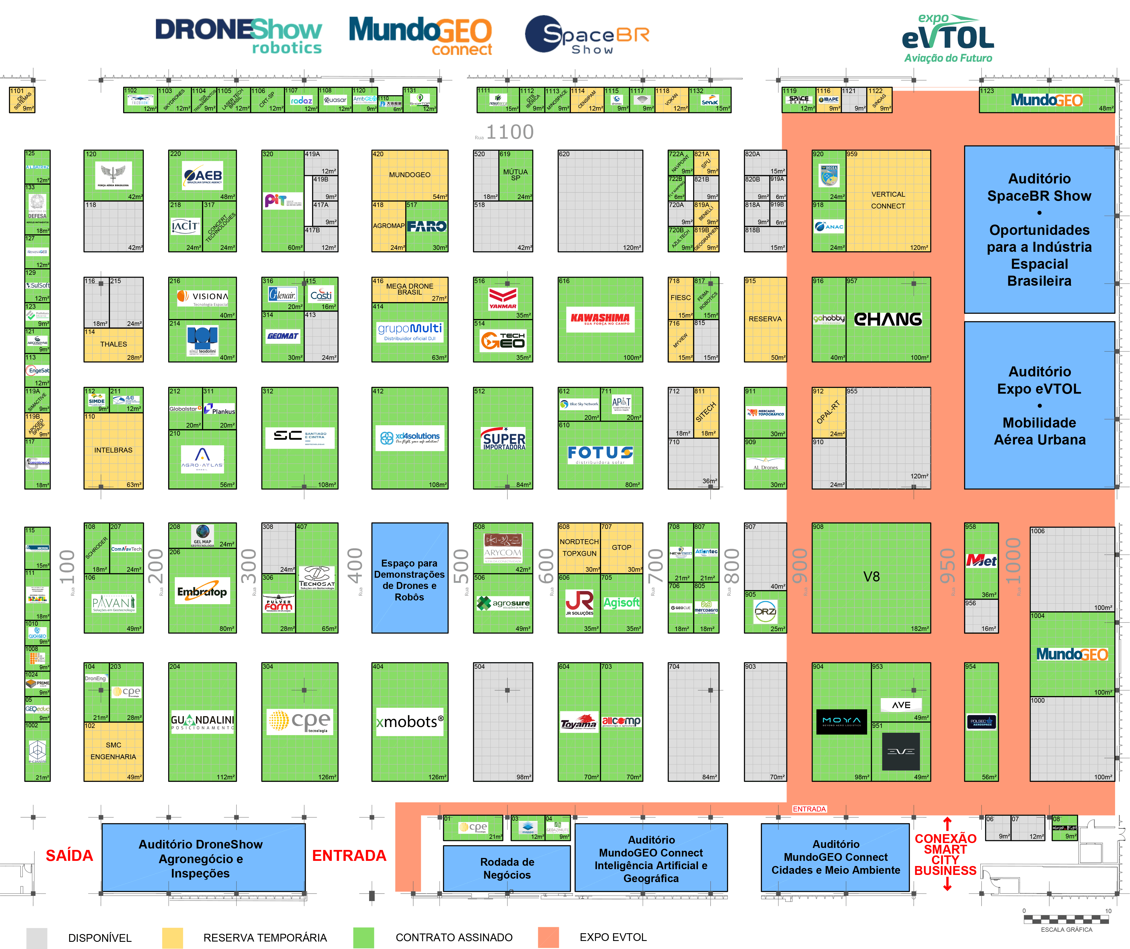
See the full list of exhibitors
Courses, Seminars and Forums
In addition to the products and services exhibition, DroneShow, MundoGEO Connect, SpaceBR Show and Expo eVTOL 2025 will feature courses, seminars and forums.
Follow the event’s progress, floor plan and program on the websites:
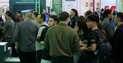
Highlights of the last edition of the exhibition: