With the aim of meeting the needs in the areas of Topography, Geodesy, Civil Construction and Agriculture, the company has...
Institucional Support
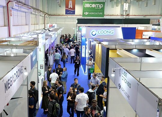
+ 10,000
attendees
+ 150
exhibitors
+ 30
countries
+ 180
speakers
Technologic Solutions
Drones
Remote Sensing
Mapping
Geoprocessing and GIS
Multipurpose Cadastre
3D Topography
VR, AR and Metaverse
Artificial Intelligence
BIM and Digital Twins
Monitoring and Inspections
Positioning and Navigation
Laser Scanning and Lidar
Impacted Sectors
Agriculture
Environment
Cities
Infrastructure
Mobility
Forestry
Utilities
Construction
Security
Mining
Oil & Gas
Energy
Defense
Universities
Telecommunications
Sanitation
NEWS

Engesat confirmed at MundoGEO Connect 2025 exhibition
With innovations in satellite images, remote sensing and geospatial intelligence, the company has already confirmed its presence at the next...

DRZ confirmed at MundoGEO Connect 2025 exhibition
With the purpose of assisting public administrations in promoting municipal development, with solutions for Urban Planning, Environmental Management, Geoinformation and...


