
Purpose
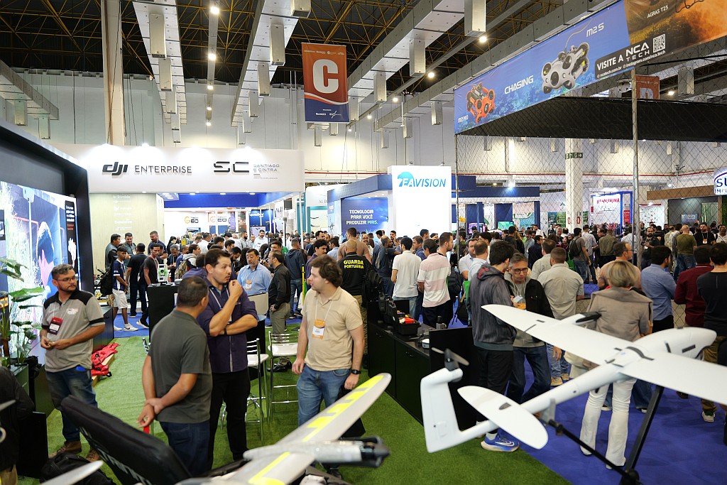
The purpose of the MundoGEO Connect 2026 event is to bring together, from June 16th to 18th, in the 14,000 m² Expo Center Norte – Pavilhão Azul, in São Paulo (SP), companies from the geographic intelligence sector, geomatics equipment, reality capture (using satellites, aircraft, drones, and fixed and mobile ground stations), image processing using artificial intelligence, and information visualization and analysis using 3D resources involving BIM and Digital Twins, as well as regulatory entities, universities, startups, and public and private users of these technologies.
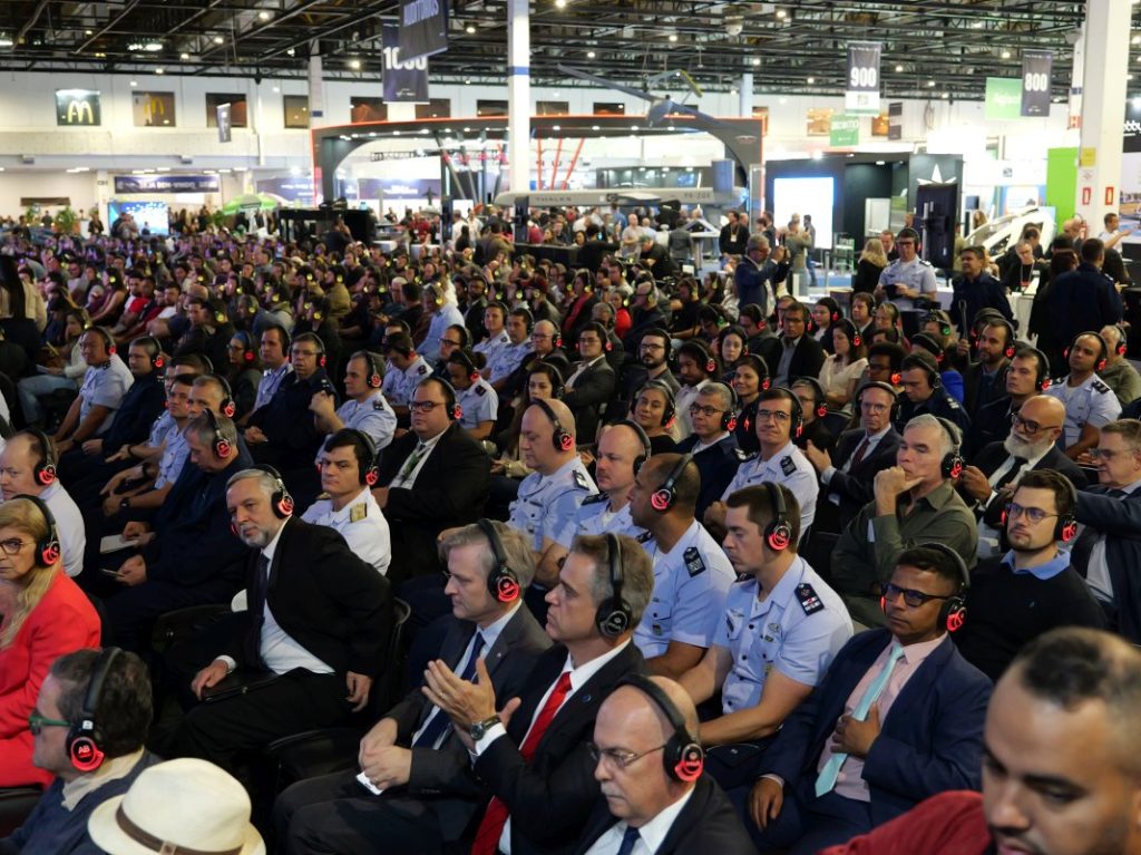
The 2026 edition will offer courses, seminars, forums, and a technology exhibition, showcasing solutions for professionals working in Agriculture, Forestry, Environment, Smart Cities, Logistics, Defense, Energy, Highways, Railways, Ports, Airports, Mining, Oil & Gas, Security, Telecommunications, Civil Construction, and others.
Simultaneously with MundoGEO Connect 2026, three other events with great synergy will take place at the same location: DroneShow Robotics, about drones; SpaceBR Show, about the sector’s production chain and solutions coming from space; and Expo eVTOL, about Advanced Air Mobility.