

Purpose
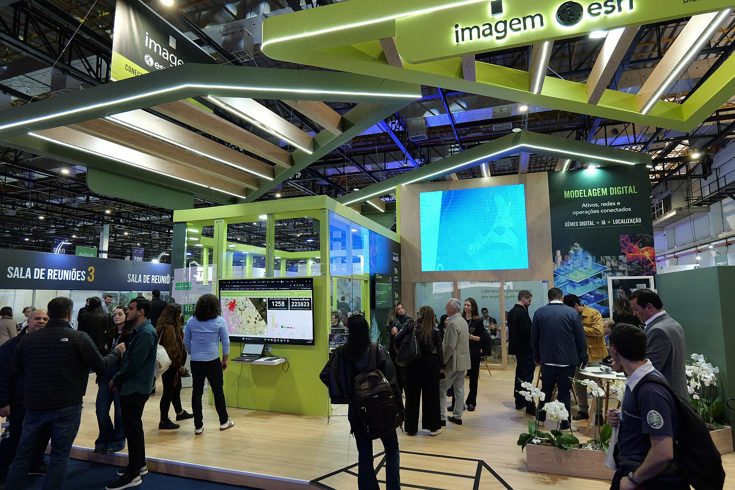
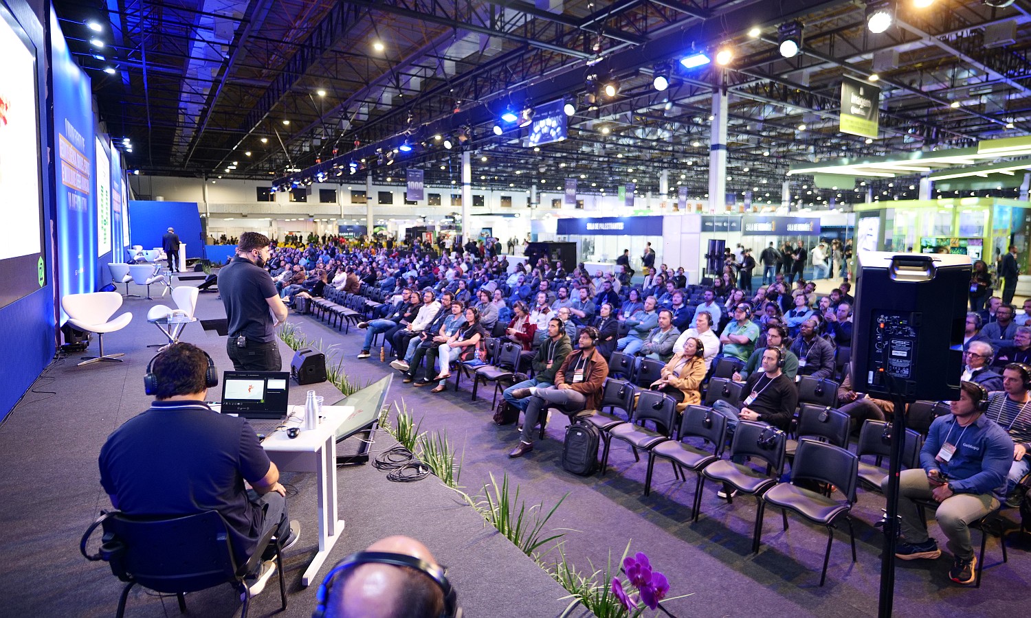
The purpose of this 17th edition of MundoGEO Connect is to bring together in person, from June 15 to 17, 2027, at Expo Center Norte – Blue Pavilion, in São Paulo (SP), companies from the geointelligence sector, reality capture equipment (using satellites, aircraft, drones, and fixed/mobile ground stations), image processing using artificial intelligence, as well as information visualization and analysis using 3D resources, involving BIM and Digital Twins, along with regulatory bodies, universities, startups, and public and private users of these technologies.
The 2027 edition will offer courses, seminars, forums, business roundtables, and a technology trade show, presenting solutions for professionals working in Agriculture, Forestry, Environment, Smart Cities, Logistics, Defense, Energy, Highways, Railways, Ports, Airports, Mining, Oil & Gas, Security, Telecommunications, Civil Construction, among others.
Regulatory institutions supporting and exhibiting at the event are also confirmed, including the AEB (Brazilian Space Agency), ANAC (National Civil Aviation Agency), ANATEL (National Telecommunications Agency), DECEA (Department of Air Space Control), FAB (Brazilian Air Force), MD (Ministry of Defense), MAPA (Ministry of Agriculture and Livestock), the Brazilian Navy, and AIAB (Brazilian Aerospace Industry Association).
Concurrently with MundoGEO Connect 2027, three other events with high synergy will take place at the same venue: DroneShow, focusing on drones; SpaceBR Show, covering the sector’s production chain and various satellite services; and Expo eVTOL, dedicated to Advanced Air Mobility.