


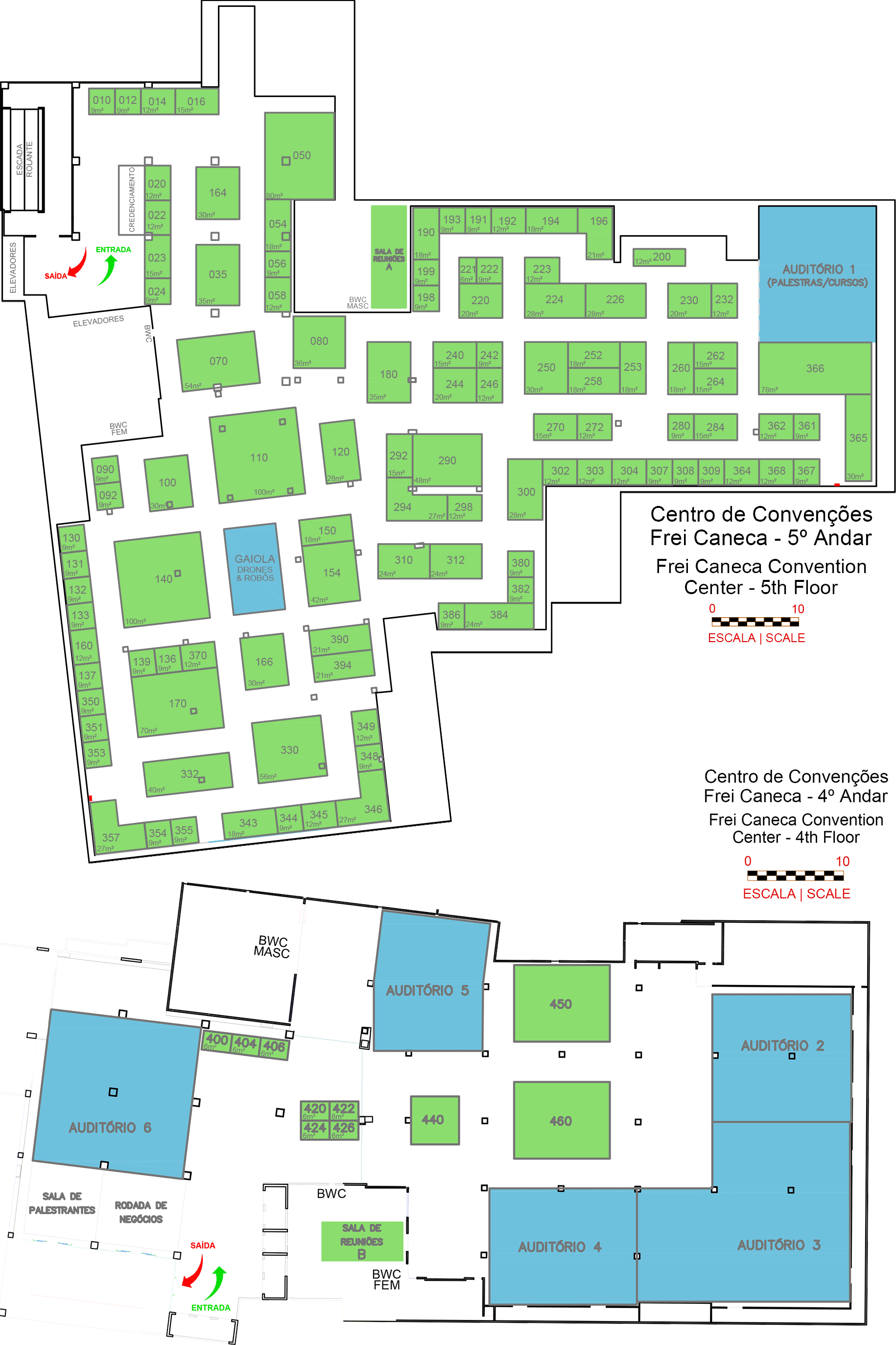
Registration is now open with a 40% discount until January 31 for the 10 in-person seminars that will take place at the DroneShow, MundoGEO Connect and SpaceBR Show 2023, May 9-11 at the Frei Caneca Convention Center in São Paulo (SP).
 Registration is now open for the 10 in-person seminars that will take place at the DroneShow, MundoGEO Connect and SpaceBR Show 2023, May 9-11 at the Frei Caneca Convention Center in São Paulo (SP).
Check out the following seminars:
Geospatial technologies and Drones in Agribusiness
In this seminar, you will have access to lectures with specialists in mapping services, management, crop estimates, management, identification of failures and diseases, providing improved productivity and environmental preservation.
Mediator: Wilson Holler. Cartographer Engineer, MSc (UFPR), GIS Analyst at Embrapa.
Image Processing, IoT and Cloud Computing
In this seminar, you will have contact with experts, real cases and challenges in the collection and especially in the processing and analysis of orbital and aerial images (aircraft and drones) associated with other information for decision-making.
Mediator: Gilberto Câmara, Senior Researcher at INPE.
Drones in Spraying and Biological Control
In this seminar, you will learn, through service providers, about regulatory issues, methodologies and how to undertake the use of drones for spraying and biological control of crops and forestry.
Mediator: Eugênio Passos Schröder, founder and director of Schroder Consultoria Agro.
Drones in Public and Private Security
In this seminar, you will have contact with experts who will present successful cases of drone applications and embedded technology in public security, private security and civil defence.
Mediator: Colonel Ramalho. Founder of Slalom Consultoria e Treinamento.
Drones in Monitoring and Inspections
In this seminar, you will learn about service providers’ experiences and success cases of using drones to monitor the behaviour of structures during their life cycle, seeking their sustainability under the social, environmental and economic aspects.
Mediator: Emílio Hoffmann, co-founder and director of operations in Latin America at H3 Dynamics.
Precision Mapping with Drones
In this seminar, you will learn, through service providers, the regulatory challenges, methodologies and how to undertake with different types of drones, on-board sensors and post processing platforms for mapping for various applications.
Mediator: Leonardo Ercolin Filho, Adjunct Professor, Department of Geomatics, UFPR.
Geospatial technologies environment and carbon credits
In this seminar, you will have contact with experts in Geoprocessing and Remote Sensing for mapping, monitoring land use and measuring carbon.
Mediator: Wilson Holler, Cartographer Engineer, MSc (UFPR), GIS Analyst at Embrapa.
GIS, Artificial Intelligence and Big Data
In this seminar, you will learn, through experts and real cases: big data, data science, artificial intelligence, machine learning and deep learning applied to the context of geographic analysis for various applications.
Mediator: Eduardo de Rezende Francisco, Professor of GeoAnalytics and Big Data and Head of the Technology and Data Science Department (TDS) at FGV EAESP.
Integration of Digital Twins, BIM, GIS and Metaverse
In this seminar, you will have access to expert content on how to integrate BIM and GIS with Digital Twins with 4D visualization and the future possibilities in Metaverse.
Moderator: Patricia Procópio – LATAM Director of Planning, Innovation & ESG at Hexagon.
Territorial Cadastre for Municipal Governance
In this seminar, you will know, through specialists and managers, the results and challenges of the project, execution, maintenance and integrated use of the CTM in the Municipalities.
Mediator: Artur Caldas Brandão, Associate Professor of the Department of Transportation Engineering and Geodesy (DETG) of the Polytechnic School of the Federal University of Bahia.
To see the detailed content of each seminar and to register with a 40% discount until January 31, visit the full program page.
By registering for one or more courses, access to the fair for all 3 days is free. Get to meet the exhibitors.
Video with a summary of the DroneShow, MundoGEO Connect and SpaceBR Show 2022:
Follow the news of the event on the websites:
www.droneshowla.com
www.mundogeoconnect.com
www.spacebrshow.com
For more information:
atendimento@mundogeo.com
+55 41 3338-7789