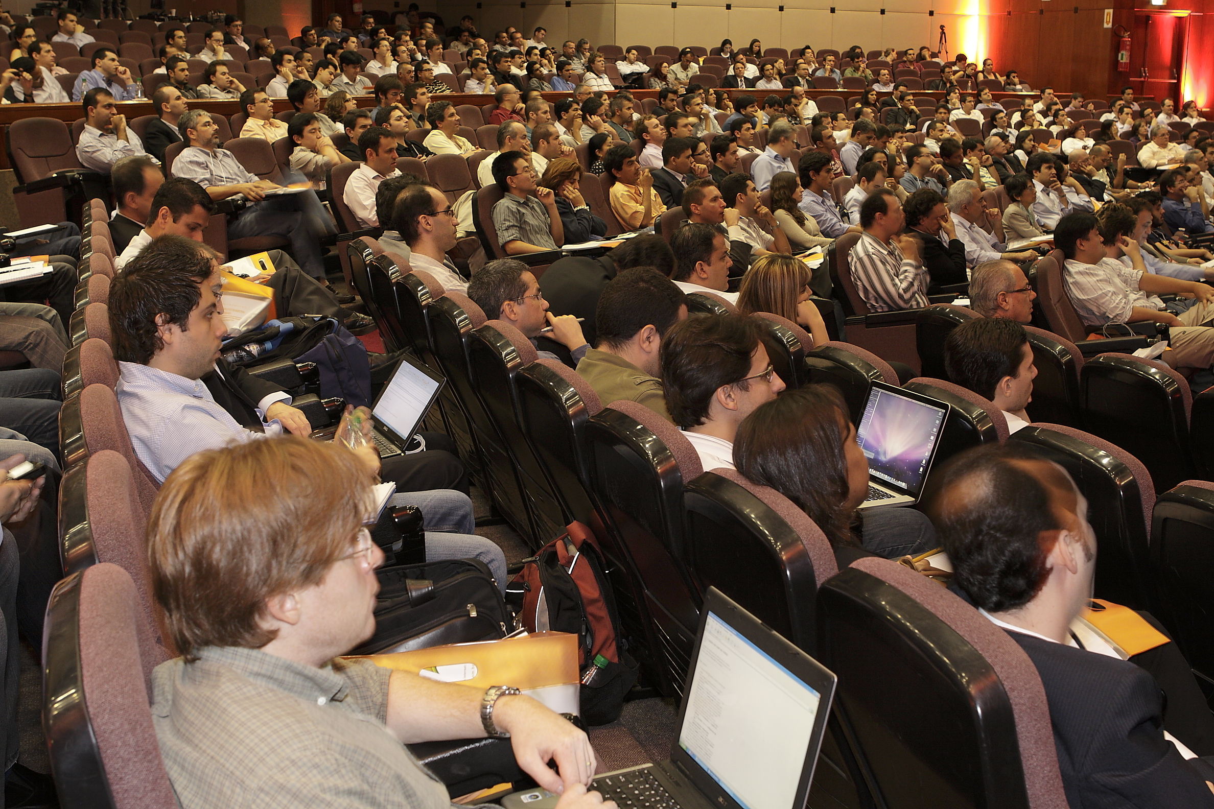
During MundoGEO#Connect, event which will take place from June 14 to June 16 in Sao Paulo, Brazil, and which will gather over 3 thousand professionals, producers and users of geo-information, the remote sensing will be the theme of one of the several seminars. The participants will be presented with the features that differentiate each type of image, the applications of the obtained data by observing the Earth and how this technology may enlarge the results in private enterprises, in public institutions and in non-governmental organizations.
Monthly Archives: April 2011
Seminar Approaches Satellite Images, Aerial Photogrammetry and Unmanned Vehicles
During MundoGEO#Connect, event which will take place from June 14 to June 16 in Sao Paulo, Brazil, and which will gather over 3 thousand professionals, producers and users of geo-information, the remote sensing will be the theme of one of the several seminars. The participants will be presented with the features that differentiate each type of image, the applications of the obtained data by observing the Earth and how this technology may enlarge the results in private enterprises, in public institutions and in non-governmental organizations.
Meet the Finalists of MundoGEO#Connect Award
The first edition of MundoGEO#Connect Award will take place in 2011 and it is an unpublished celebration for the geo-technology sector. Between the months of January and February the geo-technology community helped to choose the five nominees in the following categories: Personality of the Decade, Most Outstanding Teaching and/or Research Institution, Geo-technology company having the most online participation, most outstanding marketing Professional, most active discussion list and the Best Geo blog.


